
📍
Live GPS location
Show latitude, longitude, location time and accuracy while working in the field.
SurveyMark is a GPS survey camera built for location-aware field photos, quick evidence capture and simple survey reports.
.jpeg)
Field toolkit
The website should explain the complete SurveyMark workflow, not just show a camera.
Show latitude, longitude, location time and accuracy while working in the field.
Captured photos can carry a compact location panel directly inside the image.
Make field evidence easier to verify with readable coordinates and accuracy data.
Bring an existing image into the workflow and save a stamped copy.
Create a report with a title, notes, date, latitude, longitude and accuracy.
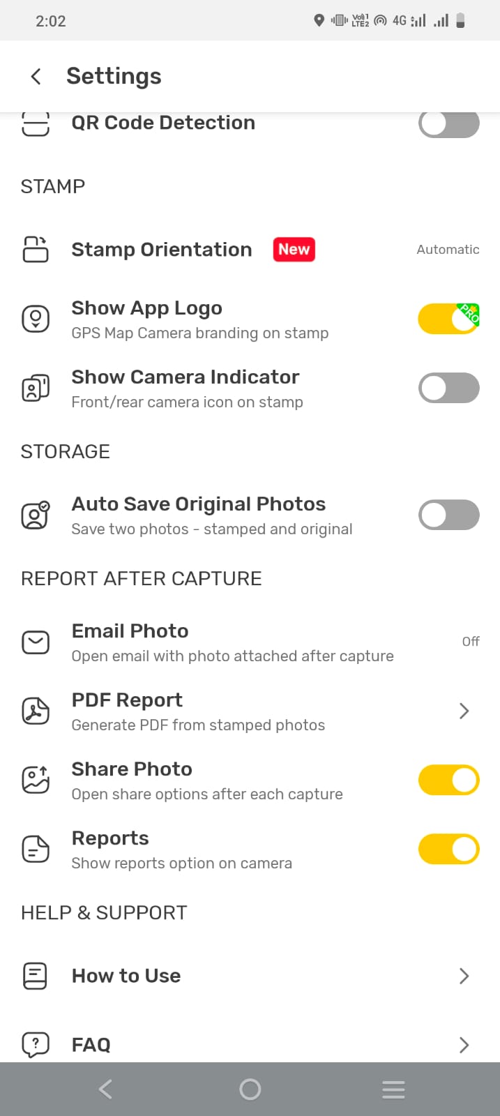
Choose which stamp elements are shown: location card, address, coordinates, time and accuracy.
Simple workflow
Start a capture while SurveyMark reads the current location.
Take a photo or use the available capture modes.
Apply the configured location information to the evidence.
Add notes and save a simple SurveyMark report.
Inside the app
.jpeg)
A GPS survey camera for location-aware field photos and simple survey reports.
The current app supports configurable location card, address, coordinates, date & time, and accuracy elements.
Yes. The report builder accepts a title and survey notes and can include date, latitude, longitude and accuracy.